

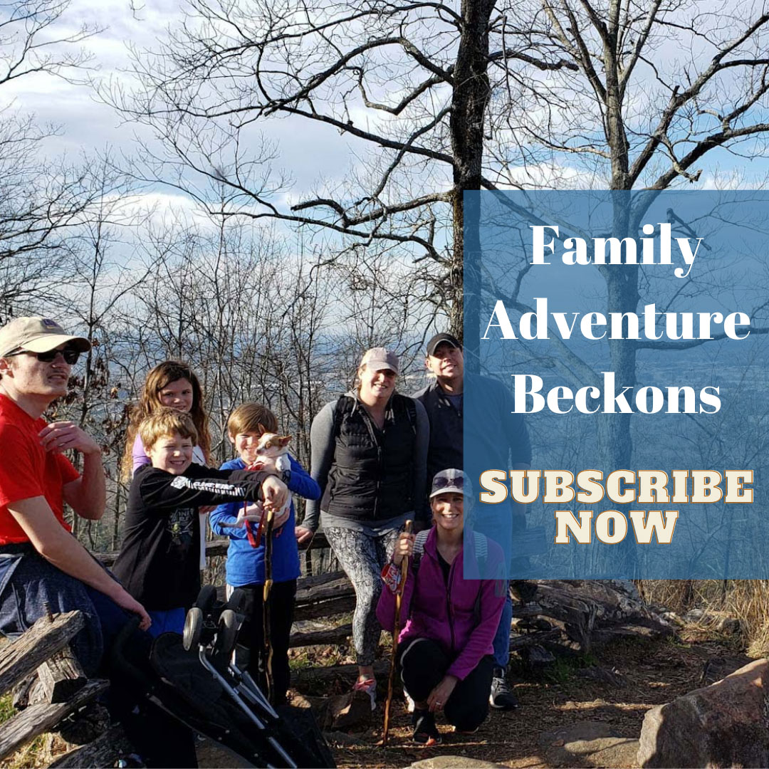
With an unusual free weekend and feeling like some waterfall wandering beyond our normal neighborhood, we snuck out of the Northwest Corner of Georgia on I-75, then turned onto bucolic backroads in Tennessee for some new adventures. Our one-day destinations: Twin Falls at Rock Island State Park, then Falls Creek Falls, before returning to Chattanooga for an overnight.
Eschewing the fast lane in favor of the winding backroads made the journey as pleasing as the destinations, as we enjoyed the full fall palette of colorful foliage enroute to our planned stops.
Below is a short sample from the dashboard camera on Tennessee Hwy 8 near McMinville, as we drive down toward the Collins River Gorge.
Rock Island State Park
Since we’re often asked this question, let’s start with the fast answer: yes, at Rock Island State Park, you can view the main falls, lots of smaller ones and other scenery here without any strenuous hiking. In fact, the Twin Falls is visible from a small overlook parking area without any hiking at all. For those wanting a closer view, a trail and steel-plated stairs allow visitors to walk to the riverbank directly across from the falls.
An unusual feature of Twin Falls: they are man made, and don’t flow from a surface stream plunging from higher elevation. The falls were formed when the Great Falls Dam caused the Collins River to rise. The rising waters seeped into caverns on Rock Island’s south shore, and eventually erupted from the bluffs on the north shore to create the cascading falls.

While we came for the falls, hiking also was on our fall agenda. After a 2.5 hour drive, we were ready for a walk and followed the water along the 1.5 mile lollipop-loop of Downriver Trail. Fortunately, we were prepared with hiking boots and poles, as we experienced rocky footings, downed trees and a few slippery mud patches along the way.
The trail meanders through waterside forest along a steep and rocky bluff above the river, offering colorful and expansive views of the river gorge. Passing the main falls delivered on a variety of photo opportunities in the ever-changing panorama of the bluff cliffs. Along the path, we caught glimpses of many small waterfalls created by seeps through the porous cliffsides.


Reaching the end of the lollipop stick portion of the trail, we chose the right-side loop of the Downriver Trail, taking us away from the river and through several picturesque glades full of fall flowers. Reaching the apex of the trail, we were treated to breathtaking views of rock formations and river rapids. As hawks soared high above searching for a mid-day meal, we paused for a water break while listening to the almost-musical sounds of the river rushing and tumbling over the rocky river bottom.

On the return trip, the bluff trail hugged the river bank, with lots of promontories to peak over into the gorge below. Again, we were delighted by the many small falls springing from cracks, crevices and caverns carved into the cliffsides. As the trail turned sharply to the left following a river bend, we clambered over a few fallen trees to discover expansive and colorful views of the upriver canyon.

After returning to our vehicle, we drove back by Great Falls Dam, then into the park’s main gates for some vehicular sight-seeing. We made a few stops here, did a bit more walking, and explored the riverside near the ruins of the Great Falls Cotton Mill. Our short visit just skimmed the overall hiking potential at Rock Island State Park. But, with GPS set to navigate more scenic backroads, we headed to our second destination at Falls Creek Falls State Park.
Falls Creek Falls State Park
Again, let’s start with the FAQs about falls viewing here: A bluff-top overlook provides a high-point view of Falls Creek Falls and the canyon below, with only a short walk from the parking lot. Continuing along the canyon rim trail also delivers stunning vistas of colorful foliage and rock formations before the trail takes a sharp, downward plunge toward the canyon floor. For the distance, mobility or balance challenged, we’d recommend sticking to the canyon rim and avoiding the treacherous trek down and strenuous climb back up.

We’ll also note here that our visit was limited only to hiking to the main falls. Within its nearly 20,000 acres, Falls Creek Falls State Park is home to several water falls, nearly 20 main hiking trails, mountain bike trails, camping areas, a resort lodge, a golf course and lots more. While we came for hours with one specific goal of hiking to the main falls, others stay for days to enjoy all the activities and adventures available here.

As the afternoon began to wane, we walked from the observation deck, around the rim trail, and plunged down the steep trail toward the base of the canyon. The path surface was a mix of dirt and protruding rocks, then changing to an all-stones-and-rocks route that required careful steps. Visiting on a Friday, the trail was often crowded with some large, slow moving groups interspersed with individual and younger hikers. At several points, we stepped to the side to allow faster hikers to move past us, just as we also stepped around some of those slower groups. And we were happy to be wearing our hiking boots, but regretted the decision to leave our hiking poles in the vehicle.


Reaching the bed of the canyon provided amazing views of the plunging waters. Despite crowds on the trail and a line of people at the main trailhead, we sought out unobstructed spots and good angles for our photos. But unlike Rock Island where we enjoyed quiet solitude and the sounds of nature, the soundscape at Falls Creek was more like a cacophony of voices and accents.


Traversing Tennessee Backroads

On our trip out to Rock Island and Falls Creek Falls, then back to Chattanooga for an overnight, and finally back to Georgia the next day, we travelled on beautiful backroads through forests, fields and mountains. Sharp curves and hilltops often gave way to stunning vistas and postcard-perfect rural scenery. Fortunately, the days of film and developing are long behind us. So we snapped away freely unconcerned about limitations on cyber storage space. Many of those images now rotate effortlessly and regularly on our TV screen saver with other travel photos, all driven by Google Photos and the PhotoView for Google Photos app on our Roku player.

Before heading home from Chattanooga on Saturday, we filled our coffee mugs, connected our travel tunes, and enjoyed hours of scenic driving on the mountains and byways around Lookout Mountain. From the tumbling waters near Rock City, around to the fairy-tale named streets on Lookout Mountain and down Battlefield Parkway, we soaked in the views as a light rain soaked the surrounding landscape. With no specific timetable to meet, the meandering drive was the perfect end to our quick adventure.
