Updated: March 2019
Most mornings, I sleep through sunrise or experience it during my post-gym cool-down walk. But when I have an opportunity to experience a sunrise, I prefer an elevated location so I get the optimum view of the daily grandeur.
So, when cruising, you’ll likely find me with a cup of coffee in a crow’s nest area, or at another high-elevation location. One of my traveling favorites was watching the sunrise from Piestewa (Squaw) Peak in Arizona following a pre-dawn hike and climb.
Near my Atlanta-area home, there are two excellent and well-trafficked areas for watching mountain-top sunrises. Stone Mountain, on the east side of Atlanta and outside the I-285 perimeter, is a state park that offers a variety of local lodging for visitors, and a moderate hike up the granite pluton to get an unobstructed view.
On the Northwest side of the city and outside the I-285 perimeter is Kennesaw Mountain, known as KeMo to many locals, and home to the nationally most-visited US national battlefield.
With a prominence of approximately 1,000 feet over the surrounding area and multiple easy-to-moderate hiking options, KeMo is great as a dawn-watching location.
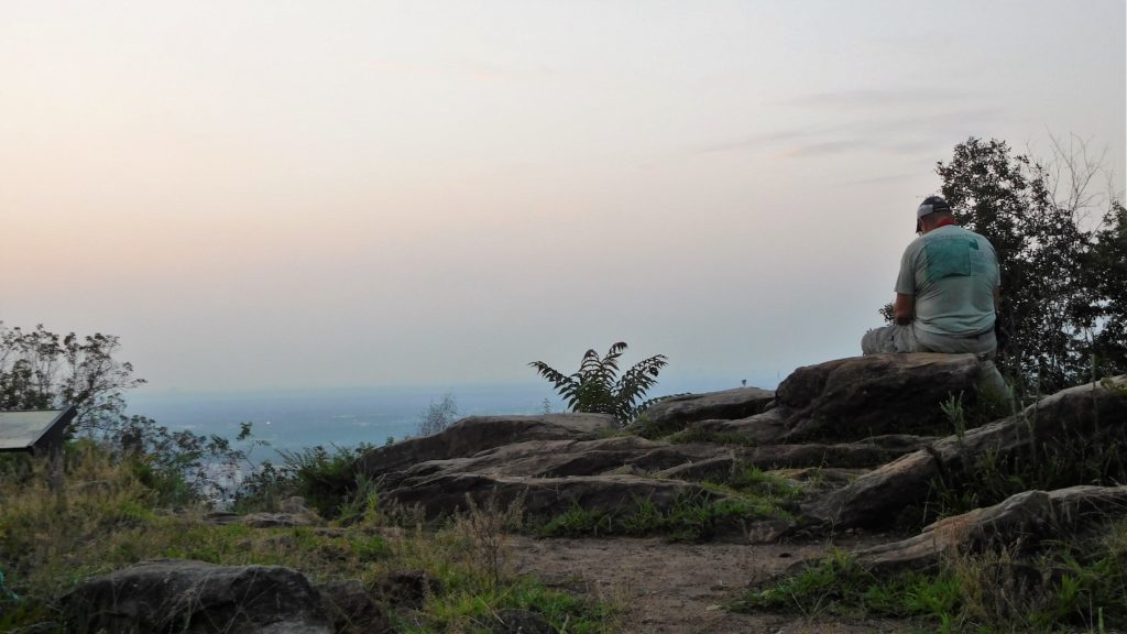
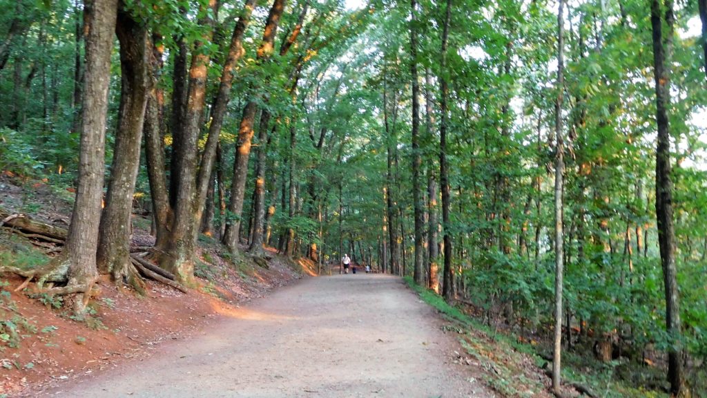
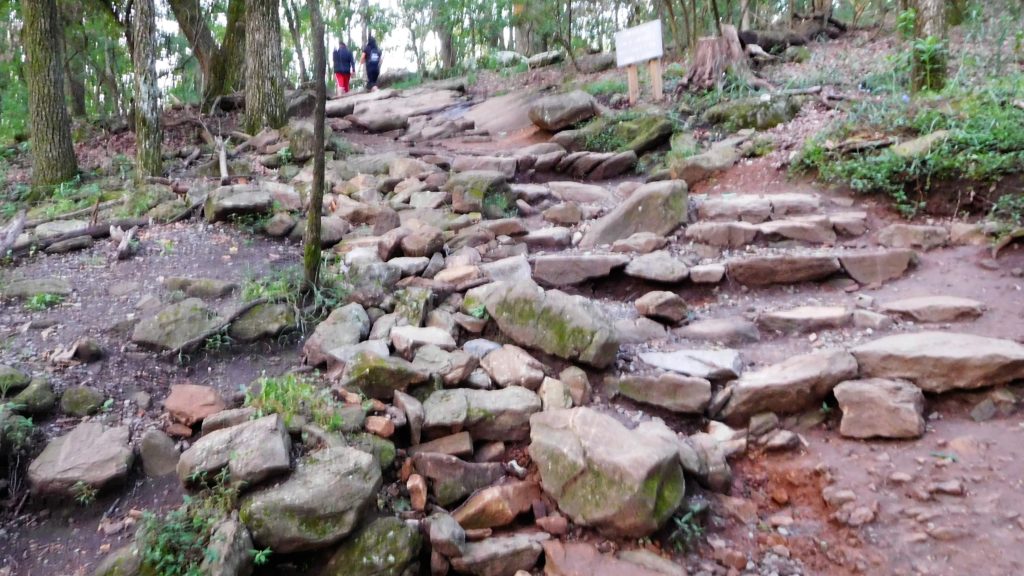
For a pre-dawn hike, I recommend taking the automobile road that winds around the mountain 1.8 miles from parking lot to near the peak. There are several hiking trails around the base and up the mountain that offer wooded routes and merge near the peak. But for me, the paved road up virtually eliminates the chances of an encounter with any of the 6 species of poisonous snakes that inhabit Georgia, including the copperhead, timber rattlesnake and pygmy rattlesnake frequently found in the NW Georgia area. I usually take one of the wooded trails down the mountainside when I can see anything that creeps, crawls, walks or slithers among the leaves, underbrush and wooded trail side.
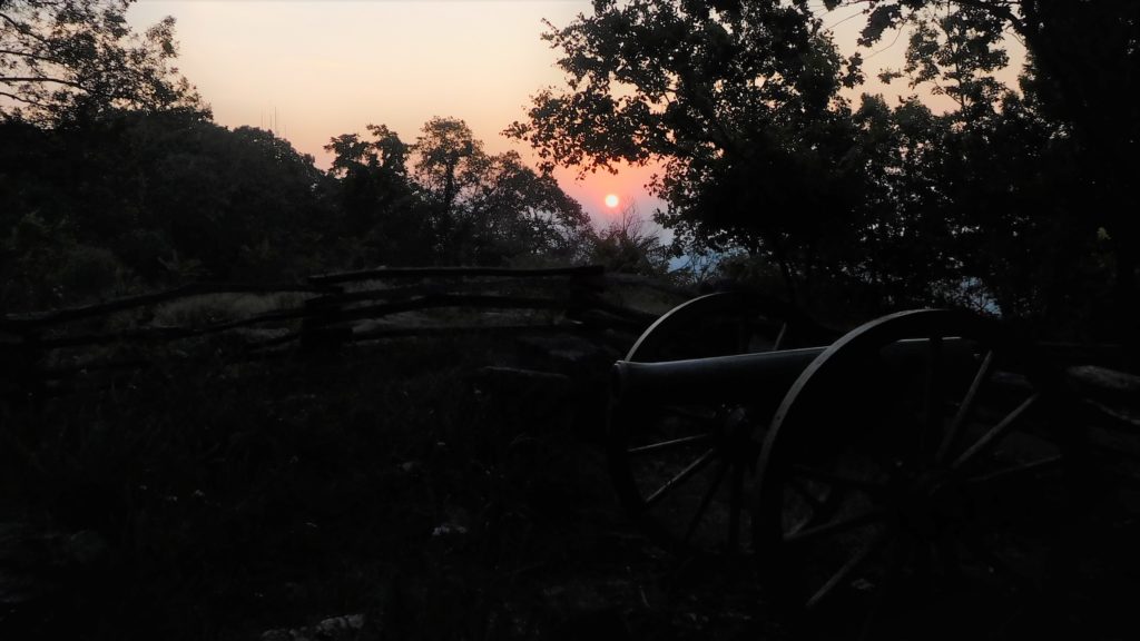
If you arrive at the peak a few minutes before sunrise, you’ll experience the natural beauty of a daybreak sunrise. It’s magical to watch the twinkling transition of the surrounding metropolitan area’s awakening from street and building lights to the early hues of morning sunlight.
Walking up the road at about the 0.9 mile point, there is a scenic overlook offering a pre-dawn view of downtown Atlanta approximately 19 miles South. If you’re running behind schedule, stop to take some well-framed pictures using the trees and shrubs creatively. Otherwise, just keep going, as a broader panorama is available from several vantage points at the peak.
KeMo is a wooded mountain, so there is no 360-degree view at the top. But there are excellent views of the Southern vista and Atlanta from near the automotive parking area, and also a bit further up the wooded trail at the actual peak.
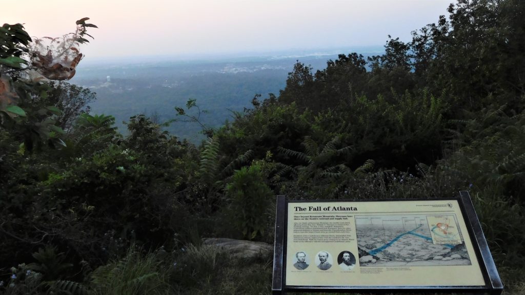
At the peak, if you are looking at the informational sign facing Atlanta to your South, the sun will rise from your left, coming up from a lower point that makes it look like you’re higher than the sun. A view to the North overlooks the foothills of the Smokey Mountains to the Northeast. Remember, though, you’re in the South, and humidity often hangs in the air, generally creating hazy or foggy views which can limit visibility — and create some very interesting photography effects.
As mentioned, there are multiple options for walking down in the daylight. The direct route down is shorter, exactly one mile on the Kennesaw Mountain trail. The trail is easy to follow and you’ll see lots of climbers heading up as you walk down.
If you want to extend the sunrise jaunt into a longer hike, there are posted maps available outside the visitor center and others available inside during opening hours. I’d recommend you download your maps in advance as the visitor center frequently is out of the high-demand maps. Most trails begin or cross at the visitor center, which also offers ranger programs, a video, other programs and indoor restrooms. Generally, trails are 3-5 miles, although several can be joined together to create 10+ mile options.
If You Go:
Park Hours. KeMo is a daylight-hours only park, and park times vary by season. You can find the seasonal hours on the website. Though it’s not published and not consistent, rangers open the gates to the parking area about 30 minutes before sunrise. If you park at the remote lot on Hwy 41, be sure you have a flashlight as the parking area and sidewalk are extremely dark.
Watch Your Step. Except for the automobile road and portions of the perimeter trails, most trails are natural and not paved. So, be careful as protruding roots, rocky areas, loose stones and mud can make footing uncertain in places. And remember that you’re in the native habitat to multiple poisonous snakes along with a variety of other critters, so keep your eyes open.
Special Activities. With its proximity to Atlanta and easy access, KeMo hosts lots of special activities and programs. Those include Civil War re-enactments and encampments, infantry and artillery demonstrations, walking tours, nature programs and more. The park website generally has an up-to-date schedule.
Bring Supplies and Leave Nothing Behind. There are limited public facilities at the battlefield, so carry in your water and food. During summer months, there may be a concession stand open in the parking lot at the top of the mountain, but I wouldn’t count on it. And, as always, please help preserve the natural landscape and public area by taking all your garbage and belongings out of the park when you leave.
Locals Know:
Field of Flags. Each September, the Kiwanis Club of Marietta commemorates 9-11 and remembers the victims, placing one commemorative flag across the KeMo plain for each victim of 9-11. The multi-day commemoration also includes activities in nearby Marietta. The flags are illuminated nightly by powerful flood lights, both a truly beautiful and mournfully sad sight. The event attracts thousands of people over the multi-day schedule, so be prepared for heavier-than-usual traffic, difficult parking and crowds in the limited public facilities at the park.
Big Shanty, All Aboard! If you dragged your kids or grandkids up the mountain at sunrise and they happen to be train enthusiasts, spend a part of the remaining day at the Southern Museum of Civil War and Locomotive History in downtown Kennesaw (829 Cherokee St NW, Kennesaw, GA 30144). It’s the home of the General, the locomotive made famous in the Great Locomotive Chase. There’s other local railroad history, an extensive display of railroad and Civil War exhibits, and a children’s play area suitable for toddlers. Visitors can see the beautifully-restored General, but boarding is allowed only during limited special exhibits. (History lesson: Big Shanty was the original name of the town of Kennesaw.)
Insider Food Tip:
Basecamp. 1718 Old 41 Hwy NW, Marietta, GA 30060. Approximately 0.6 miles on Old Highway 41, you’ll find a Southern comfort food dining treasure – Basecamp. It’s located in an old Sinclair service station, and expanded in 2017 with the addition of a large dining area. It’s operated by the same folks who own The Local in Marietta.
More Following These Photos . . .
Final Fitness Thoughts for Active Boomers Considering This Walk
If you’re not certain of your cardio fitness or stamina, you may not want to do this walk before dawn when few people are around. And, walking isn’t the only way up during the park’s operating hours. Monday through Friday, the automobile road is open for driving. And on weekends, the National Park Service operates a shuttle service from the visitor center to near the peak, for a fee, of course.
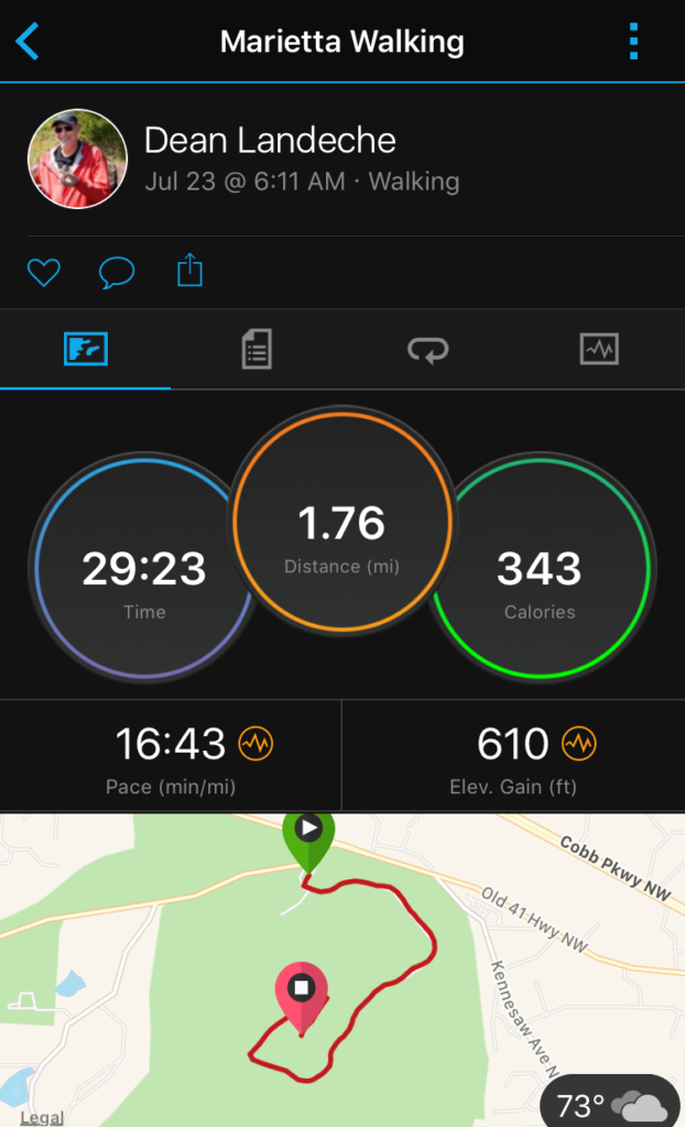
I use a Garmin VivoActive HR to track my physical activities. I find this to be a fun walk, although I will admit to huffing, puffing and some periods of elevated heart rate when pushing up at a brisk pace. This morning, I walked parking lot to peak at a brisk pace 16:43 minutes-per-mile, reaching the peak in just under 30 minutes while gaining 610 feet of elevation over the ~1.8 mile road walk. That was good for an average moving speed of 3.7 mph, and the equivalent of climbing 59 flights of stairs. My average heart rate was 119 BPM, with a maximum of 152 BPM.
