

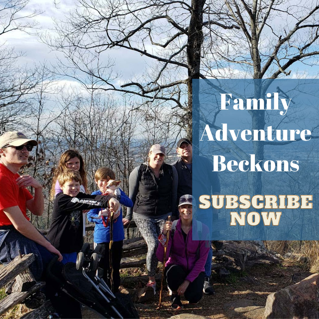
When I asked my adult daughter if she and her kids wanted to go with us to Sloppy Floyd, she replied, “Sure, what kind of food do they serve?”

For the record, Sloppy Floyd is not a new restaurant. Nor is it:
- A trendy island bar. That’s Sloppy Joe’s in Key West.
- A saucy loose meat sandwich, legendarily invented by a cook named Joe at Floyd Angell’s café in Sioux City, Iowa. Again, Sloppy Joe.
- A song honoring school lunch ladies. Again, Sloppy Joe, written by Adam Sandler and performed on Saturday Night Life with Chris Farley.
- A bad haircut on The Andy Griffith Show, though Floyd the Barber was a popular character with classic scenes.
And no, grandpa, Sloppy Floyd is NOT what the kids are calling it these days!
For sake of clarity, our reference to Sloppy Floyd was James H. “Sloppy” Floyd State Park, one of our favorite Northwest Georgia hiking parks surrounded by the Chattahoochee Forest. The park’s most photographed and well-known feature is the small waterfall over the gaping entry to the abandoned Marble Mine. And regional anglers would prefer to keep secret that the park’s two man-made lakes are well-stocked with channel catfish, bass, and bream, with easy access from the shore, boats or the fishing docks.
Marble Mine Trail

Our starting point at Sloppy Floyd always is the Marble Mine trail, a relatively easy, slightly inclined, gravel-and-rock-covered wide trail suitable for families. It’s just 0.8 miles and approximately 300 feet of vertical climb to the wide opening of the former Marble Mine, where a low-volume waterfall drips steadily during wetter periods from a 35-foot ledge above the mine into a reflecting pool. A boardwalk at the mine entrance allows visitors to walk by the side and behind the falls, a sure delight for the youngsters on a hot day as small eddies sneak through crack in the rocks to drip on the unaware or curious. Standing on the boardwalk at its various terminating points behind the falls also provides some natural air conditioning as cool air escapes from the now-closed subterranean passages.

We usually start our Marble Mine hike near the park offices, allowing us a scenic walk across Upper Lake on a permanent boardwalk bridge. A variety of water-loving birds can often be spotted here, along with turtles, frogs and the occasional curious fish. In warmer months kayakers generally can be seen around the lake. (And a variety of boat rentals are available, too, at least they have been in non-Covid times.)

From the lake, the trail enters the forest, crossing streams fed from above. Along the route, a variety of abandoned buildings, foundations and heavy metal items can be spotted in the forest, likely ghosts of the mining operation that began here in 1923.
Where to Now?
After exploring the boardwalk and snapping pictures, we were faced with the question, “Where to now?” When hiking with grandkids who generally have exhausted snack supplies, our answer is to take the short connector and head back down on the Jenkins Gap trail. That route flattens out and joins the Upper Lake Loop, where we follow the lake’s edge through the woods rather than taking the road over the dam and back to the parking lot. We enjoy the lakeside route for the winding path and plentiful flora. However, be on the lookout because you can often encounter some slithering surprises along this route.

But when we’re hiking alone or with mobile adults, our usual response to “What’s next?”is “Going up!” A word of warning: taking this higher route can be strenuous and may challenge those with balance or endurance issues.
Taylor Ridge and the Turkey’s Home
By continuing up on the Marble Mine trail, you’ll climb a relatively steep, narrower trail featuring many switchbacks gaining approximately 500 feet in under a half-mile. When you reach the high point of Taylor Ridge at 1,400 feet, you’ll join a section of the 335-mile Pinhoti Trail as it meanders from Alabama into Georgia. With a prominence of approximately 800 feet above some of the surrounding valleys, the views here are expansive, especially in the winter when the fallen leaves open the vast panorama. Reflecting both the elevation and the plentiful wildlife in this area, Pinhoti is a Creek work for “turkey’s home.”

As the Pinhoti Trail continued its winding journey to a northern terminus, we completed our loop down on the Jenkins Gap Trail. More words of warning: if you’ve climbed to Taylor Ridge and are uncertain of your abilities or balance, return down the Marble Mine Trail instead.
After descending the first 100-feet of the Jenkins Gap Trail, the dirt trail takes a very steep turn, dropping 300 feet quickly. Slipping often here, we reached for trailside rocks and branches to help maintain our footing. Once traversing this challenging section, the trail gradually returns to easier angles the further you descend until joining the Upper Lake Loop.

Lower Lake Loop
The easiest trail at Sloppy Floyd is the near-flat and descriptively named Lower Lake Loop. Following the shore of Lower Lake, the trail crosses the earthen dam that creates the lake, and also over the Upper Lake overflow dam where water flows in. Leaving the park office, it’s easy to follow the Lower Lake Loop until crossing the earthen dam. Once over the dam, the trail rises slightly into the woods, then intersects a campground connector. We learned – the hard way – that keeping left follows the lake trail, while taking the right fork climbs further through the campgrounds and requires a lengthy walk along Sloppy Floyd Lake Road to return to the park office.

Getting There and Back, With Treats
Coming from the Kennesaw/Acworth area, we usually take I-75 North to Adairsville, then travel west on GA-140, passing through the scenic Conasauga District of the Chattahoochee Oconee National Forest on winding sections of US 27. It’s a beautiful drive, especially in the fall when changing leaves paint with a fall palette on Taylor Ridge.


Often tired and craving a reward for our exertion, we often follow US 27 south on the journey home, frequently stopping in downtown Rome for a cold treat or warm meal. The City Creamery beckons whenever we have the grandkids with us, or when we just need a cooling reward. If we haven’t packed a picnic with the kids, Harvest Moon Café is a favorite comfort-food stop. And if we’re craving something a bit different, we head to the always-amazing choices of Mediterranean food at The Jerusalem Grill.


Just the Facts — and Stats
With various trails, there’s a hike for all at Sloppy Floyd State Park. For our trek starting at the park office, heading up to Marble Mine, ascending to Taylor Ridge, then returning down the Jenkins Gap and Upper Lake Trails, we recorded 4.81 miles in just over 2.25 hours. With the various ups and downs along the way, we climbed more than 1,000 vertical feet over that trek.

Before you decide to make the ascent from Marble Mine up to Taylor’s Ridge, keep in mind (again) that this top area is very steep, strenuous and has treacherous footing on the way down. And our best tip for Sloppy Floyd is this: Do NOT hike up Jenkins Gap trail to Taylor Ridge unless you’re a serious and in-shape hiker.

Who Was Sloppy Floyd?
We were curious about James H. “Sloppy” Floyd, and why a state park was named after him. Detailed biographical information about the man is sparse, but we did find this, which we share without further comment or commendation: